How County Maps Reveal the Stories Behind Place Names
Use a county map to trace how landscape, settlement and local history shape place names, with a worked example for interpreting a name carefully.
A county map can turn an unfamiliar place name into a question about the land beneath it. To interpret a place name on a county map, compare its wording with nearby rivers, hills, roads and settlements, then check whether the map gives enough evidence to support a likely explanation.
Read the name and map
Place names often preserve clues about landscape, settlement or earlier uses of land. A name may refer to a river, a hill, a crossing, a wood or a person associated with a place. The clue is useful, but the name alone rarely establishes one certain origin.
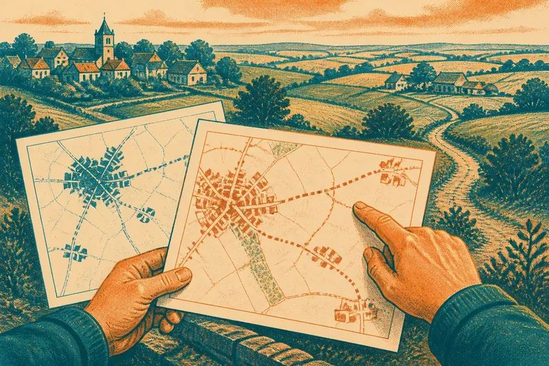
Start with a map that labels the named place and its surroundings. An Ordnance Survey sheet can show terrain, streams and paths; a county road map may make settlements and routes easier to compare. Note what kind of map you are using, because each one selects and simplifies different features.
Look for landscape clues
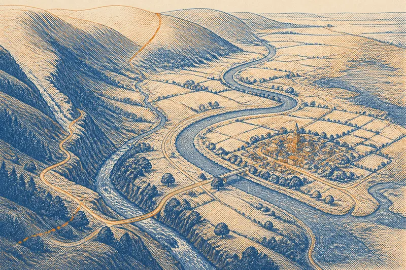
Break the name into familiar parts without assuming that modern spelling preserves its original meaning. Then inspect the area around it for features that could fit: a steep slope, a stream junction, a ridge, marshy ground or a narrow crossing. Contour lines, shaded relief and blue water features can help you form questions about the terrain.
Do not treat a nearby feature as proof. A stream may have changed course, a wood may have disappeared, and a place name may have travelled from another location. A map records selected information for a particular purpose; it does not explain every name printed on it.
Compare settlement patterns
The arrangement of villages and roads can offer a second line of context. A settlement beside a river crossing may invite questions about travel and trade; a group of names along a valley may point you towards a shared landscape feature. These are useful leads, not established histories.
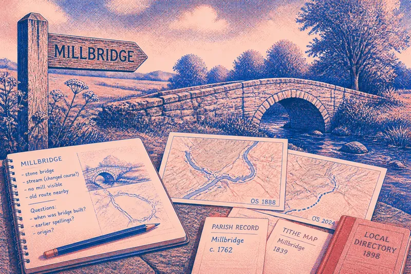
Check how the named place relates to the county boundary and nearby communities. A name may be more intelligible when considered as part of a local network rather than as an isolated label. Historic maps can help show how settlement patterns and spellings changed, but differences between editions need careful interpretation.
What can a map tell you?
Can a map explain a place name?
A map can show geographical features and neighbouring settlements that suggest possible meanings. It cannot, by itself, confirm a name’s origin, so use local histories or place-name references for stronger evidence.
Why do spellings vary?
Names can be recorded differently across periods, map editions and administrative sources. Compare spellings only when you can identify the source and date, rather than assuming every variation marks a different place.
Which map should you use?
Choose a map that displays the features relevant to your question: terrain for hills and valleys, or a detailed local map for paths and small settlements. A historic map can add context, but its symbols and coverage may differ from a current map.
How can you check a suggested origin?
Look for a county archive, local history publication or established place-name reference that discusses the name directly. If accounts disagree, record the alternatives and the evidence each one uses rather than choosing the most appealing story.
Test the interpretation
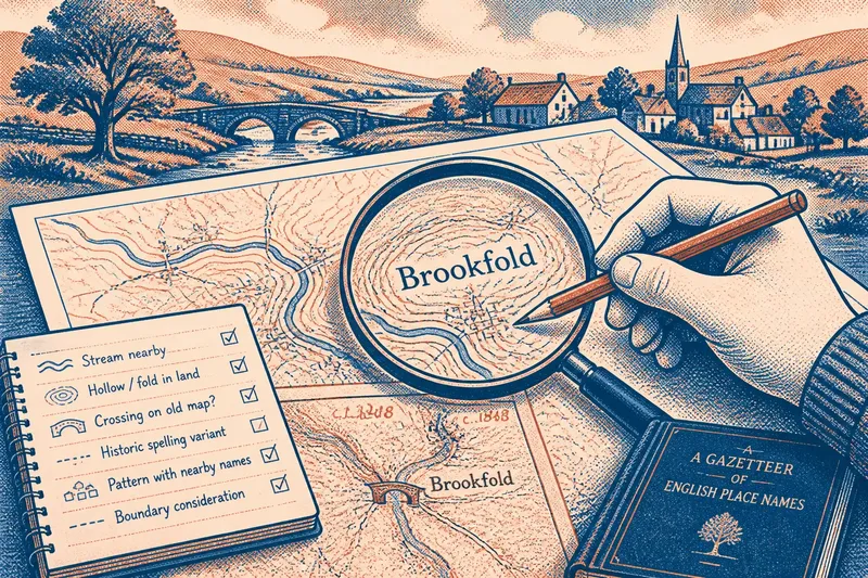
Use a short comparison to keep the reasoning grounded. Imagine you are interpreting the invented name “Brookfold” on a county map. First, mark the settlement and note that a stream is drawn nearby. Next, inspect the contours and see whether the ground forms a fold or hollow around the stream. Then compare a historic map and find that an earlier edition places the label beside a crossing rather than at the modern settlement symbol. The resulting answer is limited: the name may relate to the brook or the landform, while the old label’s position raises a question about how the settlement shifted. You would need a reliable local source to decide between those possibilities.
For your own place name, make a small evidence list. Each item should lead to a clear decision:
- Observation: The name contains a word that resembles a familiar landscape term. Decision: If the map shows a matching feature nearby, treat it as a possible clue; if not, look for older spellings before dismissing the connection.
- Observation: A stream, ridge or valley lies close to the settlement. Decision: If its position fits the name’s suggested meaning, note the match as tentative; otherwise, check whether the feature may have changed or been misidentified.
- Observation: A road or path crosses water near the place. Decision: If the name may refer to a crossing, compare historic maps; if no crossing appears, avoid presenting that explanation as established.
- Observation: A historic map gives a different spelling. Decision: If the source and date are clear, record the variant for further checking; if they are not, seek a more legible or better-documented map.
- Observation: Several settlements nearby share a word or naming pattern. Decision: If local sources connect them, consider a shared regional history; if not, keep each name’s origin open.
- Observation: A county boundary divides the named place from a related feature. Decision: If the feature is just across the boundary, include it in the comparison; if the map’s coverage stops there, consult a neighbouring county map.
Keep a useful record
Write down the place name, the map edition or source, the features you observed and the interpretation you are considering. Separate what the map directly shows from what you infer. That distinction makes it easier to revise your explanation if a local source gives a different account.
A county map is most useful for place-name interpretation when it connects a label to visible geography and neighbouring settlements without pretending to settle the history. Keep the map beside the name, and let each match guide the next question rather than stand in for an answer.